


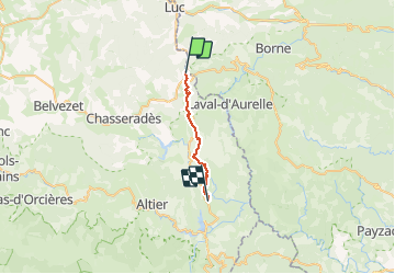

33 km | 46 km-effort


Utilisateur


Application GPS de randonnée GRATUITE
 SityTrail
IGN / Instituts géographiques
SityTrail World
Le monde est à vous
Randonnée A pied de 17,3 km à découvrir à Occitanie, Lozère, La Bastide-Puylaurent. Cette randonnée est proposée par Claude de Goële Rando.
4ème étape du chemin de Régordane - La Bastide Puylaurent - La Gatde Guerin 17,2km

Marche

Marche
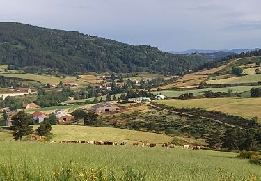
Marche

Marche
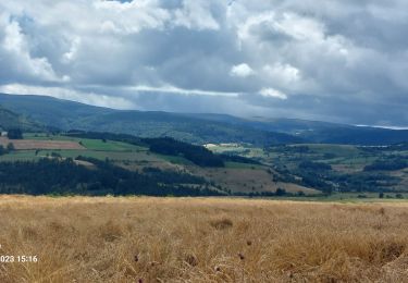
Marche
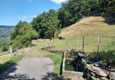
Marche
Marche
Marche
Marche